Aliwal Shoal: A Drowned Dune Full of Sharks and Sponges
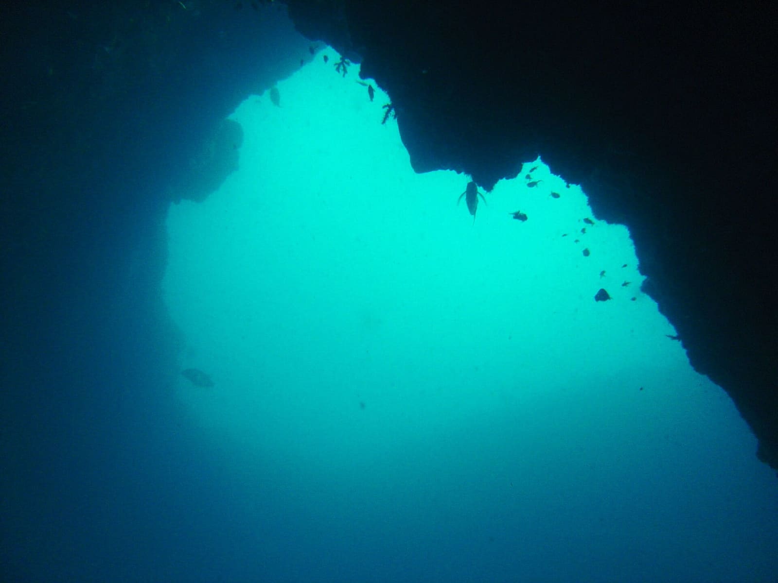
Between July and November, grey nurse sharks gather on a strip of rock off the KwaZulu-Natal coast to mate. Divers here call them ragged tooth sharks, or just raggies. That congregation is the single best reason Aliwal Shoal is on so many South African dive itineraries.
But the reef itself is the quieter surprise. Aliwal Shoal is an ancient sand dune, turned to rock and drowned, sitting about 5 kilometres offshore. It is late Pleistocene coastline that you can swim along.
Add two wrecks within reach and a protected area that has been expanding since 1991, and you have a destination that rewards more than one trip.
What the reef actually is
The Shoal is part of a larger offshore reef complex. The narrow ridge running parallel to the coast is the part everyone means when they say Aliwal Shoal, and it has a name of its own: the Crown. It sits inside the sanctuary zone of the Marine Protected Area.
The shallowest point, at the north end of the Crown, comes to within 6 metres of the surface. North of that the bottom drops away relatively steeply. The Crown averages about 12.5 metres.
South, the reef narrows and then spreads back toward the coast as the Ridge, which averages around 19.5 metres with a few isolated pinnacles. At its widest, in the north, the Shoal measures roughly 380 metres across.
The rock is aeolianite with some beachrock. We know that because a vessel called the Aimée Lykes hit the Shoal in 1963, carried samples away in her hull, and limped to Durban for repairs.
The name and the wrecks
The Shoal takes its name from the three-masted Aliwal, under Captain James Anderson, which nearly sank here in 1849. Nearly. Others were less fortunate.
Two wrecks near the reef are popular dive sites. The SS Nebo went down in 1884. The Norwegian bulk carrier MV Produce sank in 1974, and she has a restricted zone of the MPA all to herself.
What grows down there
Aliwal sits on a border. The warm-temperate reefs of Pondoland lie to the south, the tropical and subtropical reefs of Maputaland to the north, and the Shoal is the transition between them.
That shows up in what you see. The corals here are less diverse than Maputaland's but richer than Pondoland's, while the algae run the opposite way. Benthic communities are dominated by algae and sponges, with soft and hard corals, echinoderms and sea squirts mixed through. The overall diversity compares to reefs at similar latitudes in Australia.
Three distinct communities live on the Crown, sorted by depth, topography and wave energy:
- 10 to 14 metres: the reef top and slopes, with the most zooxanthellate hard corals, including Stylophora pistillata and Pocillopora, plus the encrusting sponge Suberites kelleri
- 14 to 20 metres: the steep inshore and offshore walls and broken edges, with more polychaetes, the soft coral Eleutherobia aurea and the sponge Spheciospongia globularis
- 16 to 22 metres: lower-relief slopes and edges, dominated by coralline and red foliose algae
Look for gorgonians, black coral, zoanthids, magnificent sea anemones, crown lobster, giant oysters, long-spined urchins and blue sea stars. Beyond the invertebrates, the Shoal carries tropical and subtropical fish and a run of large predators.
Water, weather and turbidity
The coastline here is humid subtropical with summer rainfall, and that rain matters underwater. Freshwater and sediment pour off the land, mostly from the mKomazi River at the north end of the MPA, and that affects turbidity and plankton blooms.
The Shoal is also exposed to heavy wind-driven wave action, with an annual average swell height of 2.5 metres. The high biomass of algae points to plenty of nutrients; the lower biomass of corals points to turbidity and light levels that are not ideal for them. Filter feeders do well on all that suspended material.
| Month | Sea temperature (°C) | Wave height (m) |
|---|---|---|
| January | 25 | 2.1 |
| February | 26 | 1.9 |
| March | 26 | 2.1 |
| April | 25 | 2.3 |
| May | 24 | 2.0 |
| June | 23 | 2.2 |
| July | 23 | 2.5 |
| August | 22 | 2.4 |
| September | 22 | 2.4 |
| October | 22 | 2.5 |
| November | 23 | 2.1 |
| December | 24 | 2.0 |
The warmest water lands in February at around 26°C, and the coolest in August at about 22°C. Note where the raggie season falls: July through November, when the sea sits in the low twenties and wave heights are at their highest for the year.
Protection
The Aliwal Shoal Marine Protected Area was established at 126 square kilometres in 1991 and proclaimed in 2004. It runs 18.3 kilometres along the coast, from the mouth of the Mkomazi River to the mouth of the Mzimayi River, and extends roughly 7 kilometres offshore.
Inside it are two restricted zones where no fishing is allowed: the Crown, about 2.5 square kilometres bounded by twelve points on the 25-metre isobath, and the smaller Produce zone around the wreck. The rest is a controlled zone with limited fishing. Ezemvelo KZN Wildlife manages it, and in 2018/2019 the MPA grew to 670 square kilometres with the addition of the offshore area.
Planning it
If raggies are the point of your trip, aim at the July to November window. If you want warmer water and are happy to let the reef itself be the star, the February end of summer runs a few degrees higher.
Either way, build in spare days. The Shoal is exposed, and a 2.5-metre average swell is not a number you argue with from shore.
When you get back to the boat, log it in Scubaspot: note which of the three Crown communities you were swimming over, whether you made it to the Produce or the Nebo, and how many raggies you counted. Add your photos, rate the site, and your next buddy will know exactly which month to book.