Marsa Alam: Dugongs, Mangroves and the Quiet End of the Red Sea
There are places on the Red Sea where you dive the reef, and places where you go looking for something specific. Marsa Alam is the second kind. Divers come here for dugongs grazing in shallow bays, for green turtles, for the chance of a whale shark.
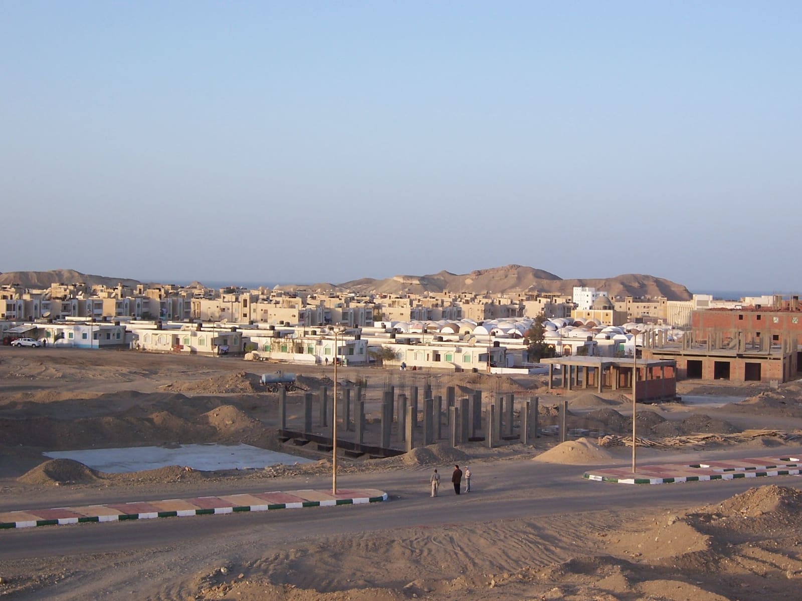
The town itself is young. Development began in 1995, funded by the Kuwaiti Al-Kharafi Group, and the airport turned it into a destination in its own right. Before that, this stretch of coast was mostly empty desert and highway.
That matters for one simple reason. Coral reefs that are still largely intact run along the whole coast here, and the protected area to the south covers 60 km of it. If you want the Red Sea with less of the crowding found further north, this is the direction you drive.
What the diving is about
Swimming, diving, snorkeling and kiting are the main activities, which tells you something about how the town sees itself. The dive menu is reefs and bays rather than a famous wreck list.
Some reefs hold dolphins. Some bays are known for turtles, manatees and dugongs. The dugong bays are taken seriously enough that yachts are not allowed to enter them, so the animals are not injured by propellers.
Abu Dabba, one of the beaches near town, has a reputation among visitors for turtles, dolphins and sharks, along with the smaller stuff divers actually photograph: crocodilefish tucked into the sand, octopuses out hunting. Many hotels sit near bays, and at the western end of those bays there are sandy beaches with no offshore reef. The bays slope gently and reach around 20 meters.
Wadi El Gemal and the coast to the south
Wadi El Gemal National Park is the big draw inland and offshore. It covers roughly 7,450 km2 in total: 4,770 km2 of land and 2,100 km2 of sea, including islands, coral reefs and seaweed beds, with Mount Hamata at the start of the reserve.
The valley is named for a plant there that camels like to eat. A freshwater spring runs down and mixes with the sea, making a low-salinity marsh, which is the kind of detail that explains why the wildlife list is so long.
The reserve is divided into areas, and a few are worth knowing by name:
- Wadi El Gemal Island, which holds the second largest population of sooty falcon
- Hankawareb, 18 km south of Wadi El Gemal, known for its beaches and coral reefs
- Qalaan, 9 km north of the village
- Hamata, with wide stands of mangrove and endemic and migratory birds
- The Hamata Islands, two miles off the beach opposite Hamata village, used for swimming and diving
Marine life in the reserve includes dugong, green turtles, whale shark, dolphin, four species of sea crab and more than 13 species of small fish. On land there are ibex, dorcas gazelle and antelope, more than 13 bird species, and 141 plant species including mangrove and doum palms. There is also a museum of the Ababda tribes, where women are taught to market and sell their handicrafts.
Keep going south and you reach Wadi Lahami Lagoon near Hamata, 140 km from Marsa Alam, which works for kiting as well as diving.
Seasons and the sea
Marsa Alam has a hot desert climate with steadier temperatures than Hurghada or Sharm el Sheikh to the north. January highs usually land between 22 and 25 °C; August runs 33 to 40 °C. The record high was 45 °C on 10 May 2010, and the record low 5 °C on 3 January 2008. Over the year the sea ranges from 22 to 29 °C, as the town's climate notes describe it.
| Month | Sea temperature (°C) | Wave height (m) |
|---|---|---|
| January | 23 | 0.8 |
| February | 23 | 0.8 |
| March | 22 | 0.9 |
| April | 24 | 0.9 |
| May | 25 | 1.0 |
| June | 27 | 0.8 |
| July | 29 | 0.7 |
| August | 31 | 0.6 |
| September | 30 | 0.9 |
| October | 27 | 0.9 |
| November | 26 | 0.5 |
| December | 24 | 0.8 |
The modelled numbers above tell the same story as the climate record: a warm, fairly even sea, peaking in August and bottoming out in March. Wave heights stay in a narrow band all year, with the flattest readings in November and August.
Getting in, getting around
Marsa Alam International Airport changed everything. Work started in March 1999, it opened to commercial aviation in October 2001 and was officially opened in October 2003, built to handle up to 600 passengers an hour. It sits 34 nautical miles northwest of the town, 210 km south of Hurghada, and serves the coast from Al-Qusayr down to Marsa Alam. Flights arrive from Italy, Germany, France and England.
By road, Marsa Alam is 274 km south of Hurghada and 134 km south of Qusayr. Highway 24 runs straight through town, with the hotels close to it, and the road to Edfu branches west just north of the city. Buses run five times a day from Cairo via el-Quseir and Hurghada, twice in the morning from Edfu, and twice a day from ash-Shalatin, with service taxis from the same stop, as Wikivoyage lists them.
The town is small, about 11,497 residents, and nearly everything in it can be reached on foot. Beyond the mosques and the local market, there is not much to see in town itself.
Port Ghalib and liveaboards
Port Ghalib Marina lies 65 km north of Marsa Alam city and 4 km south of the airport. It covers 315,872 m2 with 5,200 meters of piers, runs 24 hours a day, and takes about 2,000 yachts a year against a capacity of 1,050. A lit navigational shaft offshore guides boats into the channel at night.
It is also where southern Red Sea liveaboards leave from. Boreas runs 3-, 4- and 7-night itineraries out of Port Ghalib taking in southern Red Sea dive sites, with programs for divers and non-divers and charters for up to 20 guests.
If you have a day on land
Marsa Alam is a starting point for desert safaris, and there is real history close by: historic emerald mines, the Temple of Seti I at Khanais, and the Temple of Sket 60 km inside Wadi El Gemal. The reserve has four entrances and three administrative offices, and the Ministry of Environment runs patrols for monitoring and enforcement.
When you get back from a dugong bay or the Hamata Islands, log it in Scubaspot while the detail is fresh: the bay name, the depth you reached on that slow-sloping sand, and whether the dugong showed. Rate the site, drop in your turtle and crocodilefish shots, and your next buddy heading to Port Ghalib will know exactly where to ask the boat to go. Start at scubaspot.co.