Port Noarlunga: Adelaide's Reef at the End of a Jetty
You walk out along a timber jetty, down a set of stairs, and you are on the reef. No boat, no crossing, no early start. Port Noarlunga makes diving feel almost casual.
The reef itself is the reason to come. It runs 1.6 kilometres parallel to the shore, about 400 metres out, and it is old consolidated sand dune from the Pleistocene rather than coral. Divers and snorkelers have been counting things on it for decades: 83 marine plant species and 132 ray-finned fish species so far.
And it is 30 kilometres from the centre of Adelaide. That combination is rare.
The jetty and the reef
The present jetty was built in 1921, the second one here. It is lit at night and has three staircases: one down to the beach, two more that drop you into the water. At the reef end, the stairs were torn off by a storm in November 2018 and replaced in 2020 with a sturdier structure with multiple platforms.
The reef acts as a natural breakwater and splits into two sections, with the channel between them known as The Gap. At low tide, parts of it sit above water.
Since 1994 there has been a self-guided dive trail along the reef, marked with 12 glass plaques. Each one points out something about the ecosystem where it sits. It is a nice touch, and a good excuse to slow down and actually look at what you are swimming over instead of just covering ground.
If you have ever wondered why the reef is in such good shape, the answer is 1971.
A reserve with teeth
The Port Noarlunga Reef Aquatic Reserve was one of six proclaimed in South Australia in 1971, set up specifically to protect the reef life and the river estuary next door. In 1993 it was extended north to take in Horseshoe Reef at Christies Beach.
It now covers 527 hectares, running from Onkaparinga Head in the south to Gulfview Road in the north, and up the Onkaparinga River as far as Main South Road at Old Noarlunga.
Fishing is restricted to rod and handline, and none is permitted within 25 metres of Horseshoe or Port Noarlunga reefs. Hand nets are allowed in the estuary and river, for shrimp as bait only. Parts of the suburb also sit inside the Encounter Marine Park.
Three artificial reefs offshore
Head further out and there is a cluster of man-made structures sitting close together on the bottom, all three reachable on one dive.
- Port Noarlunga Tyre Reef: pyramids of tyres in 20 metres of water.
- H. A. Lumb: a steel tug, scuttled by the Dive Industry Association in 1994, lying in 20 metres about 2.5 km west of the jetty.
- MV Seawolf: a former fishing boat, sunk slightly to the southeast of the Lumb by the Seawolves dive club in 2002 after they raised the money themselves.
There is something appealing about a wreck that exists because a local club went out and fundraised for it.
Water temperature through the year
Gulf St Vincent swings a long way between summer and winter. February tops out near 23°C with the calmest water of the year, while July and August sit around 14°C. Wave heights stay modest year-round, peaking around 1.2 metres in July.
| Month | Sea temperature (°C) | Wave height (m) |
|---|---|---|
| January | 22 | 0.9 |
| February | 23 | 0.7 |
| March | 22 | 0.7 |
| April | 20 | 0.8 |
| May | 18 | 1.0 |
| June | 16 | 1.1 |
| July | 14 | 1.2 |
| August | 14 | 1.0 |
| September | 15 | 1.0 |
| October | 17 | 1.1 |
| November | 18 | 1.1 |
| December | 20 | 0.9 |
The town around it
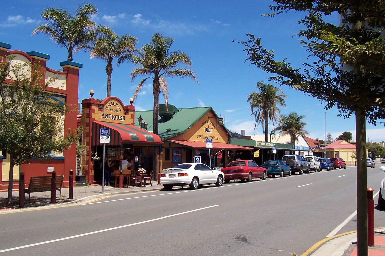
Port Noarlunga is small, about 2,918 people at the 2016 census, bounded by the Onkaparinga River and its tidal estuary to the south and Gulf St Vincent to the west. Gawler Street is the main strip: a few cafes, a pub, a fish and chip shop, a surf shop. The old Institute building from 1924 is now the community centre.
The beach made Andy Short and Brad Farmer's 2012 book 101 Best Australian Beaches, and two surf life saving clubs patrol it.
The Kaurna people, traditional owners here, know the place as Tainbarang or Tainbarilla. It marks a freshwater spring said to have come from the tears of Tjilbruke, the creator being. A stone cairn in the Tutu Wirra Reserve on Witton Bluff commemorates the second spring he created on his journey down the coast. Worth the short walk before or after you get in the water.
Planning it
The jetty is wheelchair and scooter accessible, which is not something you can say about many dive entries. If you want the warmest water, aim for February or March. If you want the reef exposed and visible from above before you get in, look at the tides.
The old jetty's piles still lie 30 metres south of the current one, and storms occasionally uncover them. Something to keep an eye out for. Wikipedia's Port Noarlunga entry has more on the township's history as a working port.
Dived the reef trail? Log it in Scubaspot and note how many of the 12 glass plaques you found, or add a photo of the H. A. Lumb's hull at 20 metres so the next diver knows what she looks like these days. Rate the jetty entry while you are at it at scubaspot.co.