Wardang Island: The Island of Wrecks off Yorke Peninsula
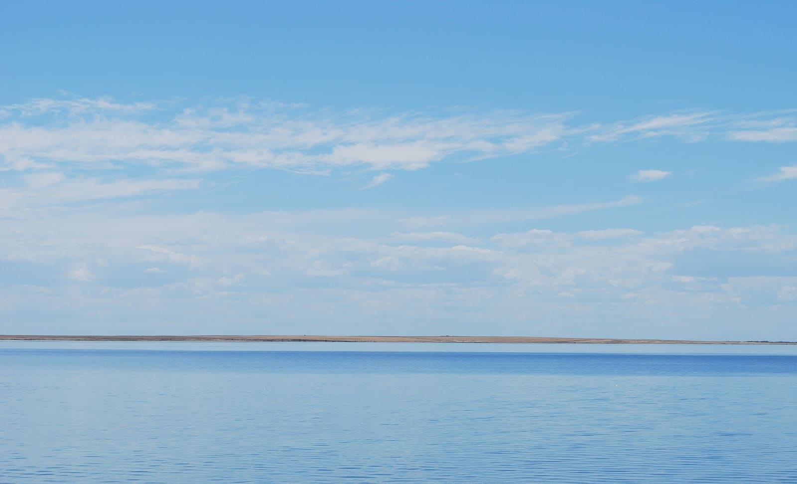
In 1926, The World's News gave Wardang Island a nickname: "The Island of Wrecks." A decade earlier, someone counted ten wrecks lining its coast.
That is the pitch, really. A low-lying island in Spencer Gulf, sitting just off the western shore of South Australia's Yorke Peninsula, with a graveyard of grain ships around it.
Eight of the nine identified wrecks are strung along a marked dive trail. If you like putting your hands on actual maritime history rather than a sunk-on-purpose hull, this is your kind of water.
Why so many ships went down here
Wardang acts as a natural breakwater. It shelters the anchorage at Port Victoria, which was once a busy grain port, and that is exactly why so many vessels were in these waters in the first place.
Shelter and traffic do not always mix. Between 1898 and 1929 there were at least 18 shipping casualties around the island, eleven of them total wrecks. The Advertiser later put the pre-1950 count at twenty-two.
A lighthouse went up on the highest point of the west coast in 1909 to help. Its effectiveness was limited by low visibility. In 1918 the tower from Wedge Island was moved across and installed here, carrying a Chance Bros 250mm lens.
The wrecks on the trail
The Wardang Island Maritime Heritage Trail covers wrecks tied to Port Victoria's trading years in the early 1900s. They split neatly into two groups.
- Monarch, S.S. Australian, S.S. Investigator, MacIntyre and Moorara: schooners and coastal steamers that carried wheat and other local cargo
- Aagot, Notre Dame D'Arvor and Songvaar: the big ones, grain carriers bound for Europe
Nine wrecks have been identified in total. The trail showcases eight of them, which leaves one loose thread for anyone who likes a story with a gap in it. The Wikipedia entry is a good place to start on the names.
Water temperature through the year
Spencer Gulf runs warm in the Australian summer and gets properly cold by midwinter. February peaks above 22 °C; July and August sit closer to 14 °C. Wave height barely moves across the year, hovering around a metre.
| Month | Sea temperature (°C) | Wave height (m) |
|---|---|---|
| January | 22 | 1.1 |
| February | 22 | 1.0 |
| March | 21 | 1.0 |
| April | 20 | 1.0 |
| May | 18 | 1.1 |
| June | 15 | 1.2 |
| July | 14 | 1.2 |
| August | 14 | 1.2 |
| September | 16 | 1.1 |
| October | 17 | 1.2 |
| November | 18 | 1.2 |
| December | 20 | 1.1 |
The 1944 description in Port Pirie's The Recorder still reads true for the north and north-west coasts: precipitous limestone cliffs, undermined by heavy westerlies, with large portions of fallen rock pounded into weird shapes on the sea bed.
Above the waterline
Wardang is Narungga country, part of their traditional lands, where people camped to hunt and gather shellfish, fish and seabird eggs, and where ceremony and burials took place. Both names for the island are Indigenous words. Wardang means "crow"; Wauraltee means "bandicoot island."
The colonial century was rougher. Pastoral leases from 1861, sheep grazing, and from 1910 to 1968 the quarrying of lime sand, barged off to feed the smelters at Port Pirie. Over a million tons of sand left the island.
At its peak the quarry town had two jetties, a school, a playground, a dance hall and fourteen houses. In 1950, 47 people lived there, fourteen of them schoolchildren. A railway hauled lime from the southern deposits to the northern jetty, first by horse, then by a kerosene locomotive.
This is also where CSIRO ran its first myxomatosis field trials in November 1937, and where rabbit calicivirus trials began in March 1995 before the virus escaped to the mainland that October, reportedly carried on bushflies.
Birds, penguins and what lives there now
Silver gulls, terns, oystercatchers, cormorants and little penguins all use the island. The local place names give it away: Pidgeon Rock, Bird Point, Swan Bay. Snapper Point was named for the fish caught nearby, and anglers here also know the Australian herring as tommy ruff.
Wardang once held the second largest little penguin breeding colony in South Australia and the largest in the state's gulf waters. In 1937 it was described as "infested with thousands of penguins." An estimate in 2004 put the number near 8,000, but as of 2011 the colony's status is unknown.
Emus walk the island too, introduced in the 1970s for a short-lived tourism venture. Every mammal here is introduced. Revegetation work by Greening Australia is aimed at eventually bringing back regionally extinct animals, including the Western quoll.
Planning a trip
The important part first: anyone wishing to visit must get prior permission from the Point Pearce Community Council. The island has been owned by the Aboriginal Lands Trust since 1973 and was declared an Indigenous Protected Area in 2014.
Access is improving. Federal funding allowed the Aboriginal Lands Trust to buy a barge, and the South Australian government committed $1.3 million to a new landing facility. Shipwreck diving was named as one reason for the investment, so divers are part of the plan.
Port Victoria, across the water, is the obvious base. The island shelters its anchorage, which is the whole reason this story exists.
If you make it out to the trail, log each wreck separately in Scubaspot so the Songvaar and the Aagot do not blur into one dive in your memory. Rate the trail, add your photos of those pounded limestone shapes on the sea bed, and share the log with the buddy you talked into the permit paperwork. Start at scubaspot.co.